Sea Area Forecast
Forecast valid from: 23:00, Thursday 05 March 2026 until 00:00, Saturday 07 March 2026
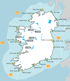
Small Craft Warning
Southerly winds will reach force 6 or higher on Friday on Irish coasts from Loop Head to Erris Head to Fair Head.
Gale Warning
Nil
Meteorological Situation at 21:00 UTC
A ridge of high pressure extends across Ireland from the Azores, generating a moderate to strong northwesterly airflow over the country.
Small Craft Warning: In effect
Heavy Swell (>4m) : No
Forecast for Fair Head to Howth Head to Roches Point and for the Irish Sea
Wind: North to northwest force 4 to 6, soon decreasing force 2 to 4. Later becoming southerly or variable.
Weather: Rain, becoming cloudy to fair imminent. Soon becoming fine or fair.
Visibility: Moderate or poor in precipitation, becoming good imminent.
Forecast for Roches Point to Mizen Head to Valentia
Wind: Northwest force 3 or 4. Soon decreasing force 3 or less. Later increasing southwest force 3 or 4.
Weather: Fine or fair.
Visibility: Good.
Forecast for Valentia to Erris Head to Fair Head
Wind: West to southwest force 3 or 4. Soon increasing south to southwest force 4 to 6, later increasing force 5 to 7.
Weather: Fine or fair.
Visibility: Good.
Outlook for a further 24 hours until 00:00, Sunday 08 March 2026
Fresh to near gale force southerly winds in the west and north, light to moderate southerly winds elsewhere. Weather: Cloudy to fair with isolated showers. Patches of drizzle and mist in the south and east on Saturday night.
Forecast issued at: 23:00, Thursday 05 March 2026
All times are local unless specified