Forecast issued at: Sunday 15th February 2026 12:00
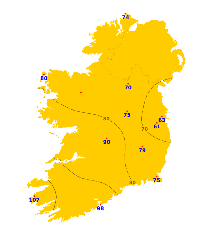
Rain
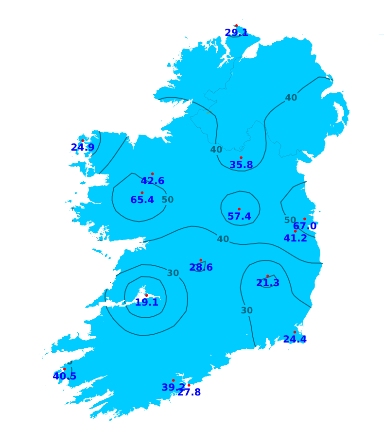
Over the past week rainfall amounts were above average in many areas. The highest accumulations were recorded at Dublin Airport where 67.0 mm fell which was over fives times the average. The lowest accumulation was recorded in Oak Park, Co. Kildare with 21.3mm recorded. Conditions are forecast to remain unsettled this coming week with frequent showers or spells of rain. Rainfall amounts are expected above average across the country.
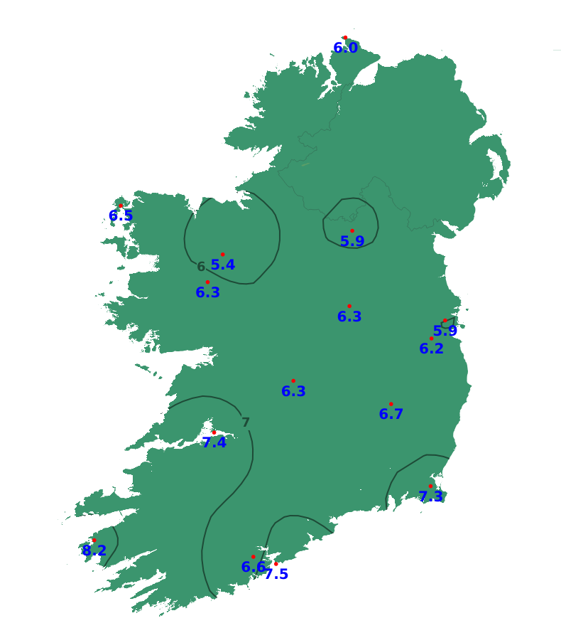
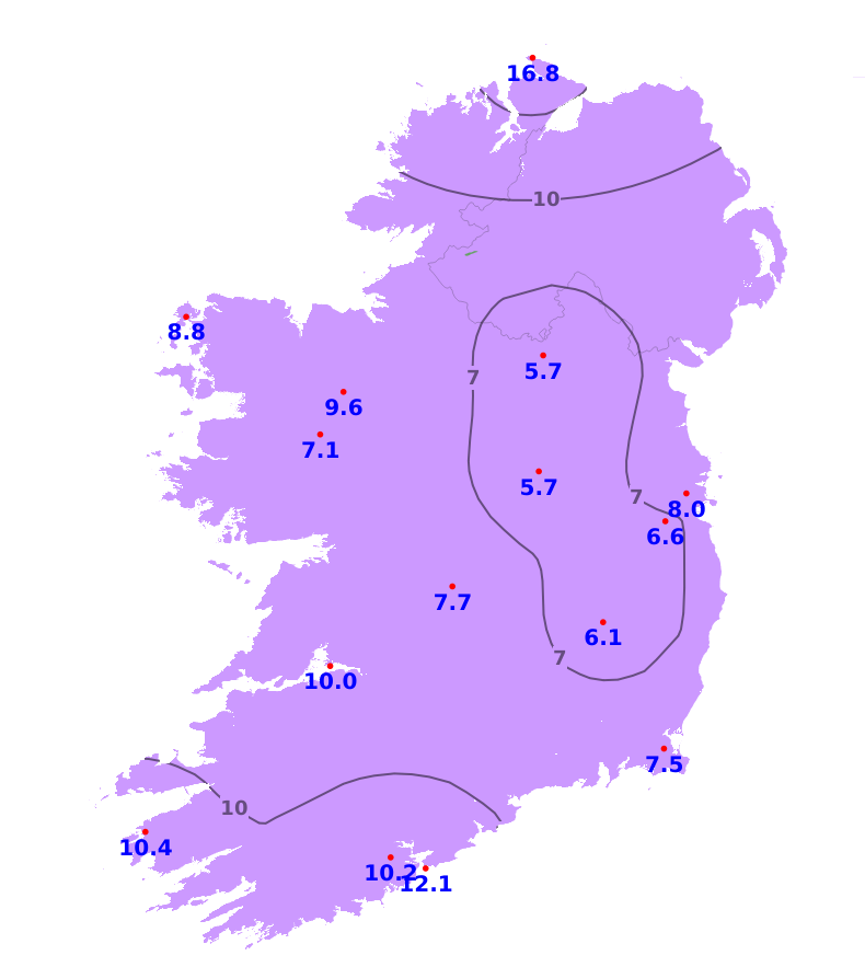
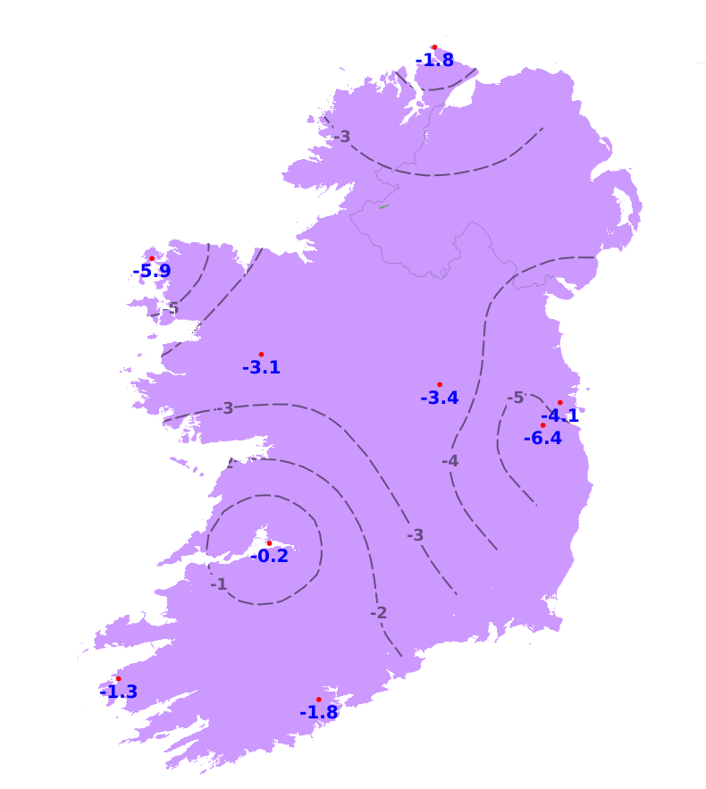
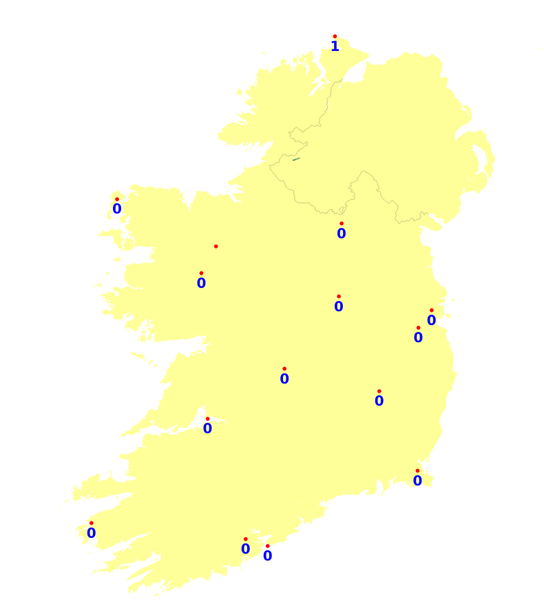
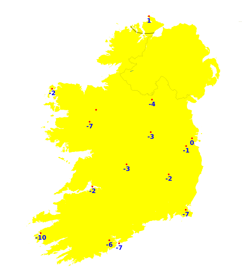
Temperatures
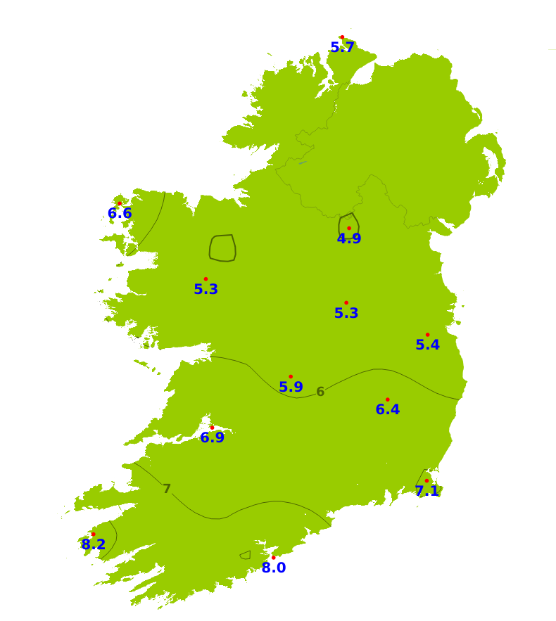
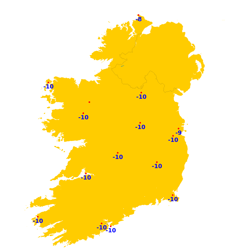
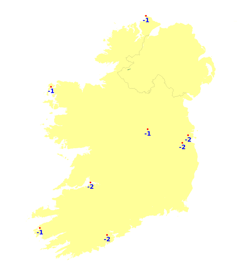
Mean air temperatures were generally average or slightly above this week ranging between -0.2 and +1.2 degree. The lowest mean air temperature was recorded at Knock Airportm, Co. Mayo which was 4.8 degrees (0.6 degrees above average). The highest was recorded at Valentia Observatory, Co. Keery with 8.2 degrees (1 degree above average). Mean soil temperatures were all above average this past week, ranging between 1.2 to 3 degrees, with the mildest temperatures in the east. Mean air temperatures will be a degree or 2 above average this coming week, ranging between 6 and 10 degrees, mildest in the south-west.
Sunshine
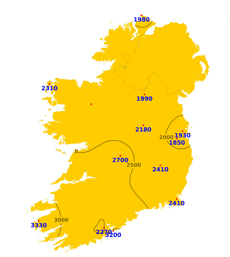
Sunshine amounts varied this past week ranging between 33% to 121% of average. In general most areas were below average with only 5.6 hours recorded at Casement Aerodrome, Co. Dublin. The south-west was the exception where sunshine was generally above average. The highest total was recorded at Valentia Observatory, Co. Kerry recorded 17.8 hours of sunshine. The coming 7 days should see a mix of cloud and sunnier spells, meaning sunshine amounts will be expected to increase.
Drying Conditions
Drying conditions will be poor over the coming days with spells of rain or frequent showers.
Spraying
There be limited opportunities for spraying this week. The best opportunity will be early Tuesday and Thursday.
Field Conditions
All poorly drained soils and some moderately drained soils are waterlogged, while all other soils are saturated. Over the coming week, there will be little to no improvement to soil conditions.
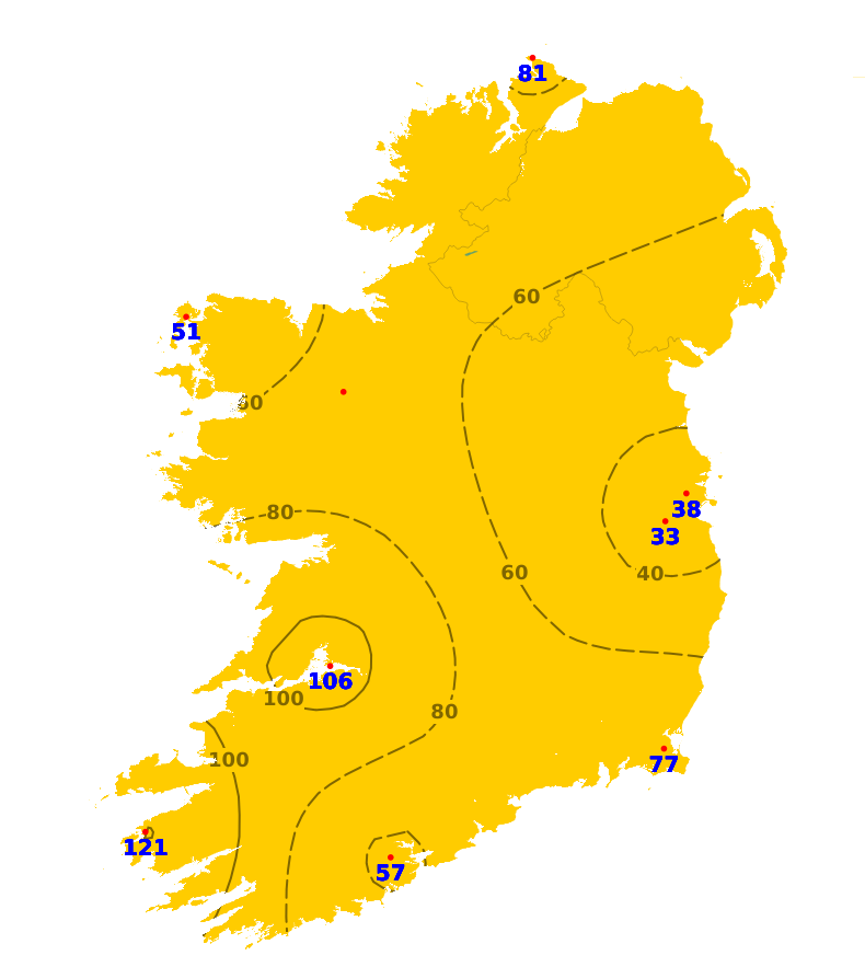
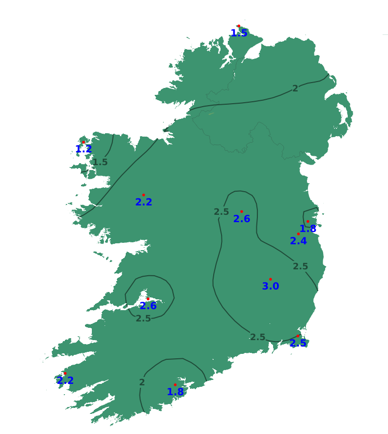
Forecast maps and meteograms can be found on Blight Forecast.